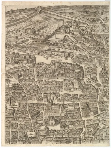
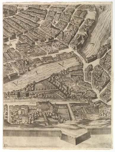
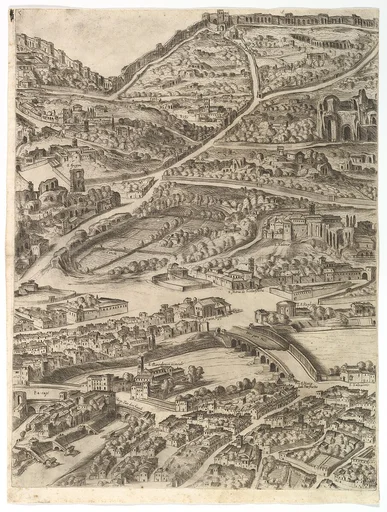
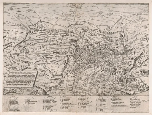
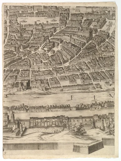
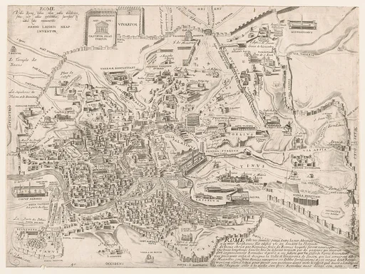
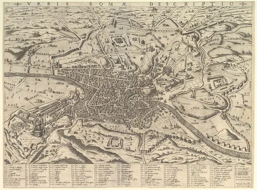
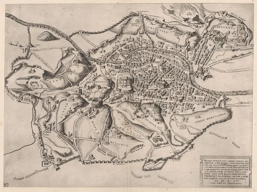
Plan of the City of Rome
Giovanni Domenico de Rossi|Cardinal Camillo Pamphili|Antonio Tempesta
1645 · Etching with some engraving, undescribed state (printed from 12 plates) · Drawings and Prints
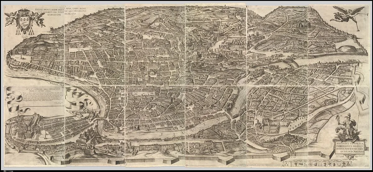
Plan or aerial view of the city of Rome, taken from the north-west. The map shows Rome in its late sixteenth-century condition. The map was first printed in 1593. This edition with changes dates to 1645.
- Artist
- Giovanni Domenico de Rossi|Cardinal Camillo Pamphili|Antonio Tempesta
- Date
- 1645
- Medium
- Etching with some engraving, undescribed state (printed from 12 plates)
- Department
- Drawings and Prints
- Credit line
- Edward Pearce Casey Fund, 1983