Selected Prints from Edward Hasted's, The History and Topographical Survey of the County of Kent, vols. 1-3
John Bayly|Richard Bernard Godfrey|Thomas Sandby|Thomas Milton|William Watts|Sir Roger Twisden|Eleanora Johnson|Rev. Joseph Milner
1777–90 · Illustrations: etching and engraving · Drawings and Prints
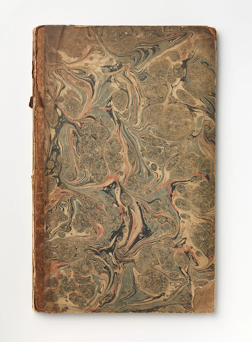
A group of thirty etchings, lacking title page, bound in decorated paper boards, with the front cover detached. The plates were made to illustrate a four volume work by Edward Hasted (1732-1812), "The History and Topographical Survey of the County of Kent: containing the ancient and present State of it, Civil and Ecclesiastical; collected from public Records, and other the Authorities, both Manuscript and printed; and illustrated with Maps and Views of Antiquities, Seats of the Nobility and Gentry, in four Volumes printed for the author by Simmons and Kirkby, 1778-99. Those assembled here come from vols. 1, 2 and 3. In total, the four volumes contain about 170 prints, including maps.
- Artist
- John Bayly|Richard Bernard Godfrey|Thomas Sandby|Thomas Milton|William Watts|Sir Roger Twisden|Eleanora Johnson|Rev. Joseph Milner
- Date
- 1777–90
- Medium
- Illustrations: etching and engraving
- Department
- Drawings and Prints
- Credit line
- Gift of Bonnie and Manuel Schonhorn, 2014