Topographical Map of the City and County of New-York and the Adjacent Country
David H. Burr|J. H. Colton & Co.
1836–ca. 1858 · Engraving with additions in wash and black chalk · Drawings and Prints
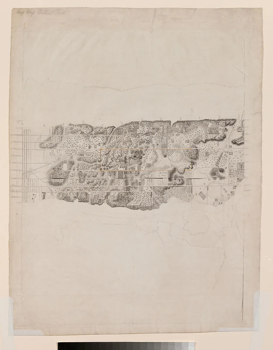
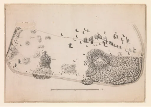
This proof impression includes the center of a large topographical map of Manhattan published in 1836 and encompasses the area between 19th and 133rd Streets, showing the City grid's rapid uptown advance. The cross streets are now fully graded and paved to about 23rd Street, and all traces of the original topography have been obliterated as far north as 30th Street and the beginnings of Murray Hill. The map depicts but does not highlight the uptown public squares that were so prominenet on the Commissioners' Plan. An unknown hand used a tan wash to delineate the boundaries of the future Central Park as it would be configured between 1853 and 1859.
- Artist
- David H. Burr|J. H. Colton & Co.
- Date
- 1836–ca. 1858
- Medium
- Engraving with additions in wash and black chalk
- Department
- Drawings and Prints
- Credit line
- Harris Brisbane Dick Fund, 1924