Day 322, Survey U, Sectors 15 and 16
United States Geological Survey|National Aeronautics and Space Administration (NASA)
1967 · Instant diffusion transfer prints (Polaroid) · Photographs
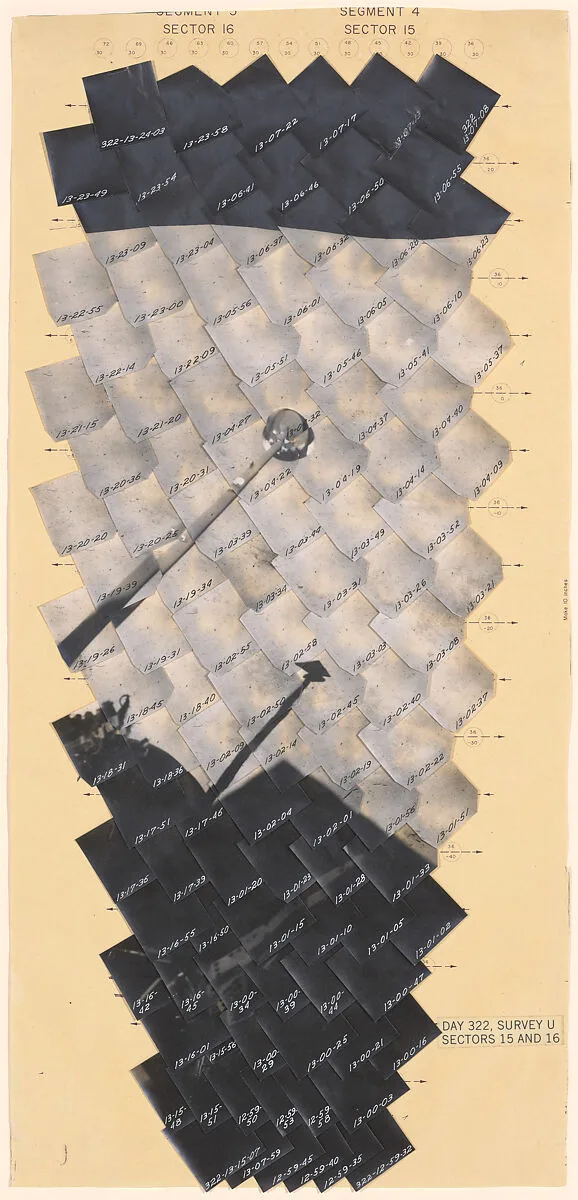
Starting in 1966, NASA launched a series of unmanned expeditions called Surveyor that were intended to determine the character of the lunar terrain prior to the manned Apollo landings that began in 1969. During the Surveyor Missions, detailed topographic images (recorded by a tracking camera mounted to the lunar probe) were beamed to television monitors at the Jet Propulsion Laboratory in Pasadena, California. The images on the monitors were then photographed, and the photographic prints were assembled into mosaics by members of the USGS at JPL.
- Artist
- United States Geological Survey|National Aeronautics and Space Administration (NASA)
- Date
- 1967
- Medium
- Instant diffusion transfer prints (Polaroid)
- Department
- Photographs
- Credit line
- Purchase, Nancy and Edwin Marks Gift, 1992